- Location
- Rockville, Maryland
- Offices
-
- Location
- Rockville, Maryland
- Offices
Share
Montgomery College Campus GIS
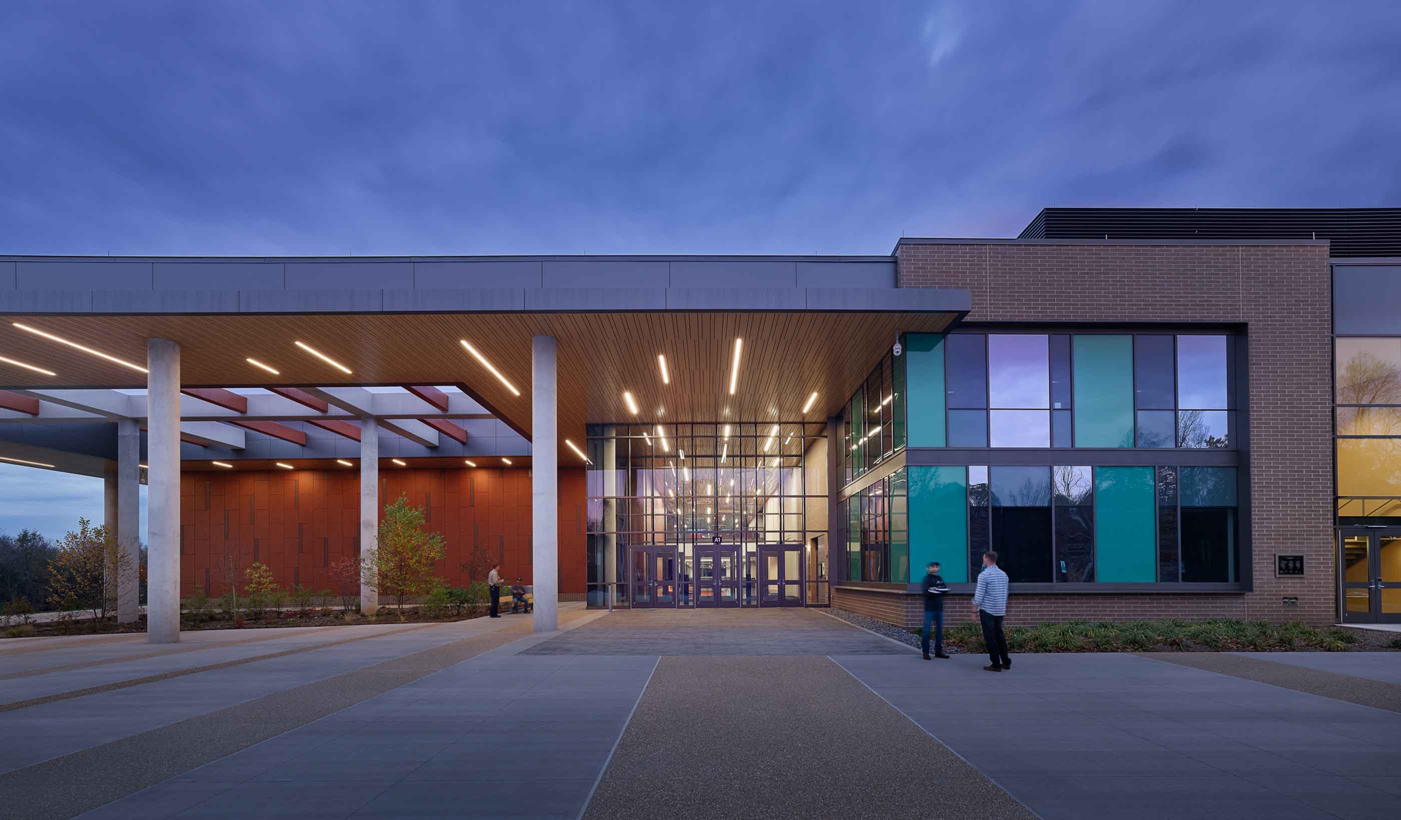
The Rockville campus is Montgomery College’s largest campus. The College recognized the value of using Geographic Information System (GIS) technology to improve its facility management operations by mapping the locations of such assets as water, gas, electric, telephone, and other utilities. Stantec has a history of supporting Montgomery College’s expansion initiatives, and was selected to perform an analysis of the Rockville campus facility data and processes and to identify opportunities for effective use of GIS tools and data.
College representatives met with the Stantec team in a series of stakeholder interviews that gathered information related to data sources, technology resources, and operation processes at the College. A report was developed by Stantec that identified and recommended opportunities for using GIS to improve College facilities operations and management of its assets.
- Location
- Rockville, Maryland
- Offices
-
- Location
- Rockville, Maryland
- Offices
Share
Afsi Nikoo, Principal
Civil engineering is more than just numbers. To me, it means building safe places for my family and community.
We’re better together
-
Become a client
Partner with us today to change how tomorrow looks. You’re exactly what’s needed to help us make it happen in your community.
-
Design your career
Work with passionate people who are experts in their field. Our teams love what they do and are driven by how their work makes an impact on the communities they serve.


