- Location
- Rockdale, NSW, Australia
- Offices
-
- Location
- Rockdale, NSW, Australia
- Offices
Share
TfNSW Intersection Surveys
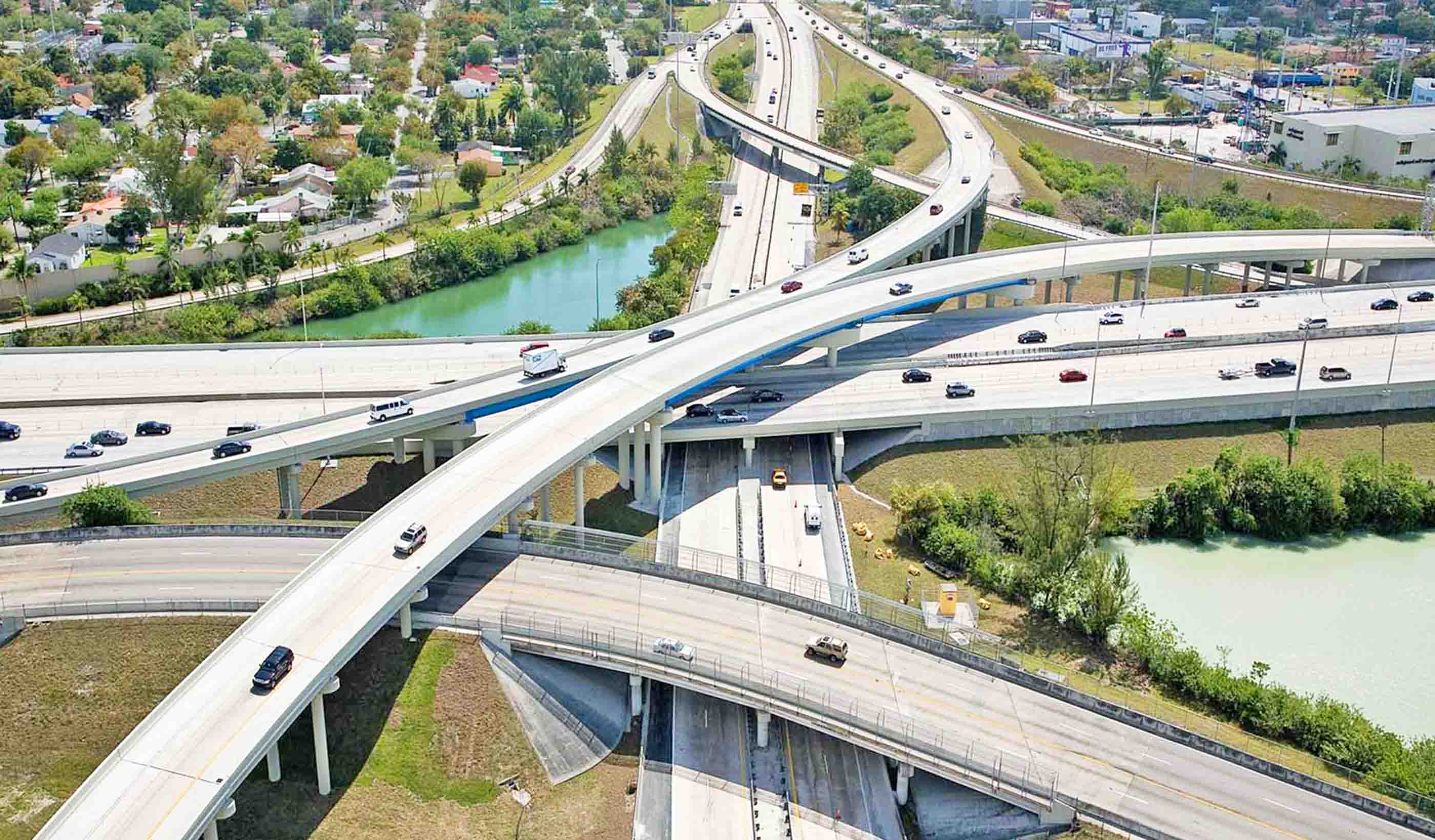
From a driver’s perspective, one intersection is much like any other—two roads meeting at right angles. There may be traffic lights, perhaps signage, and line markings. To traffic engineers, every intersection is unique with its own quirks and features. So, when it’s time to update or change an intersection, we need to survey and map those peculiarities. We were engaged by Transport for New South Wales (TfNSW), to create detailed surveys of key intersections as part of a larger road network upgrade program.
To survey each intersection, we employed static laser scanning to produce the required point-cloud data that enable extraction of the data into a 3D model. These scans revealed each intersection’s unique elements—the placement of marker lines, signage, pavements, kerbs, traffic control lighting, and street lighting. The 3D surveys were then fed into models to facilitate re-designs. The models provided valuable information, which helped designers make changes to improve safety and usability, such as the introduction of bike lanes, and widening of slip roads.
As well as surveying each intersection, we completed control survey networks and cadastral boundary overlays, which will aid any future design work at these intersections and give the end user a thorough understanding of how the intersection works within its environment.
- Location
- Rockdale, NSW, Australia
- Offices
-
- Location
- Rockdale, NSW, Australia
- Offices
Share
Adam Warburton, Group Leader, Survey Construction
There is no substitute for effort—all the best projects are the ones where you are totally committed.
Pierre Hartzenberg, Business Leader, Geospatial
Surveying is always the first discipline carried out on site. We form the backbone for all other work that follows.
We’re better together
-
Become a client
Partner with us today to change how tomorrow looks. You’re exactly what’s needed to help us make it happen in your community.
-
Design your career
Work with passionate people who are experts in their field. Our teams love what they do and are driven by how their work makes an impact on the communities they serve.


