- Location
- Devon, England
- Offices
-
-
Client
-
-
South West Water (SWW)
-
- Location
- Devon, England
- Offices
- Client
-
- South West Water (SWW)
Share
South West Water – Natural Flood Management
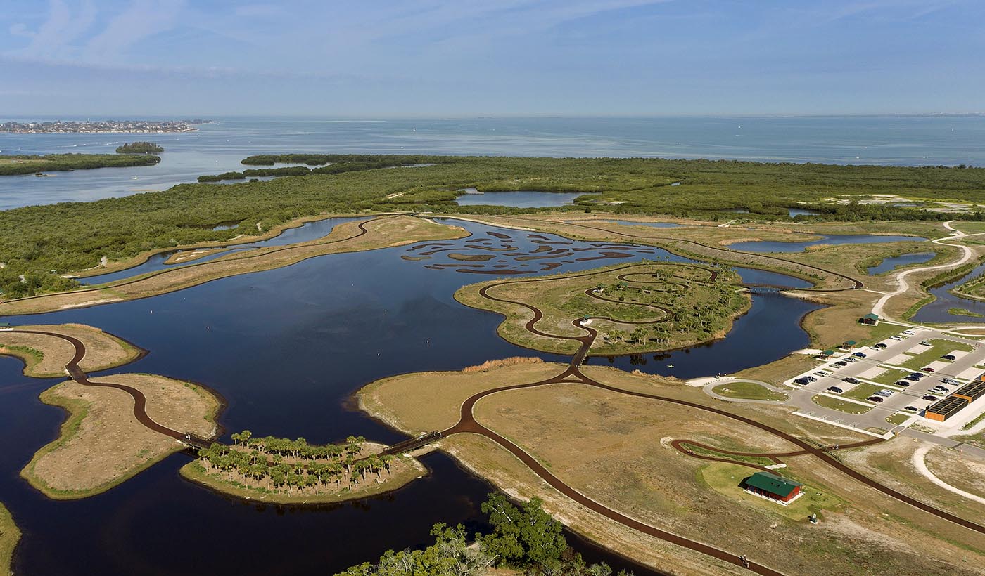
With climate change affecting weather patterns, seasonal flooding can become a challenge in England. Water and wastewater systems are South West Water’s (SWW) business—almost two million people in Cornwall, Devon, parts of Somerset and Dorset and the Isles of Scilly depend on them. When SWW wanted to reduce the flood risk, while creating habitat, at three of their assets, they engaged us to study opportunities for natural resiliency.
We developed a method for SWW to identify where nature-based solutions could be implemented to reduce flood risk and promote resilience at their assets. Using a geographic information system (GIS) to identify natural flood management (NFM) opportunities, our team mapped opportunities to reduce flood risk and create habitat across three river catchment areas, based on three opportunity categories: woodland, river and floodplain, and runoff. A multi-criteria assessment (MCA) ranked the total potential throughout the catchment, prioritising areas with multiple benefits that include ecological and habitat improvement. Our stakeholder consultation identified active and pipeline NFM projects—which we mapped alongside landownership data and the highest-ranking MCA areas to highlight collaborative opportunities.
Our study highlighted potential locations for SWW investment and collaboration in nature-based solutions—SWW can use this method as a template for future asset resilience and habitat programs.
- Location
- Devon, England
- Offices
-
-
Client
-
-
South West Water (SWW)
-
- Location
- Devon, England
- Offices
- Client
-
- South West Water (SWW)
Share
Rob Riddington, Director of Water Management
Building relationships and recognising opportunities is essential to delivering successful schemes and sustainable habitats.
Gabrielle Powell, Graduate Water Management Consultant
I’m inspired by the possibilities of bringing together natural processes with local partnerships to create flood-resilient communities.
We’re better together
-
Become a client
Partner with us today to change how tomorrow looks. You’re exactly what’s needed to help us make it happen in your community.
-
Design your career
Work with passionate people who are experts in their field. Our teams love what they do and are driven by how their work makes an impact on the communities they serve.


