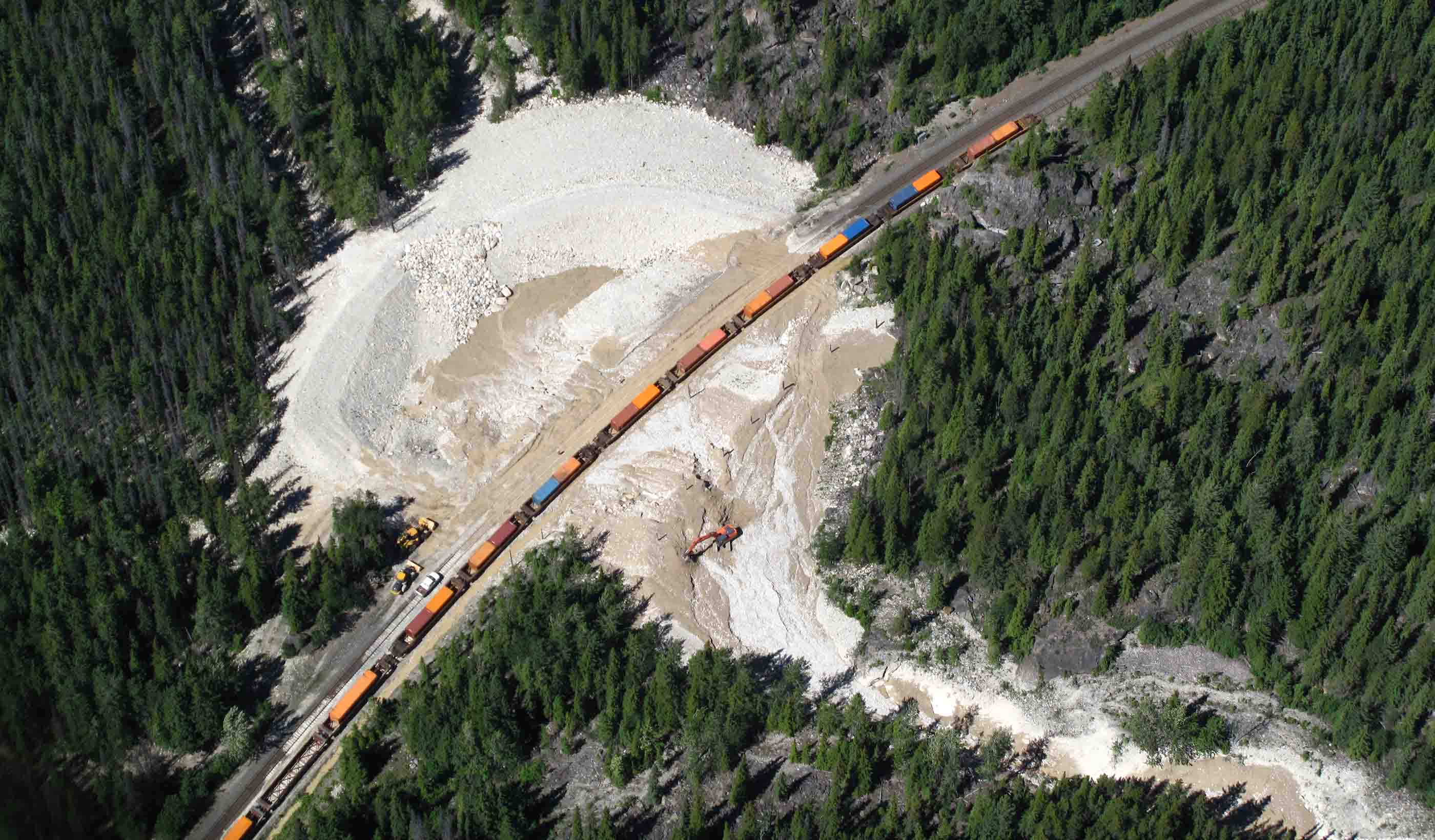
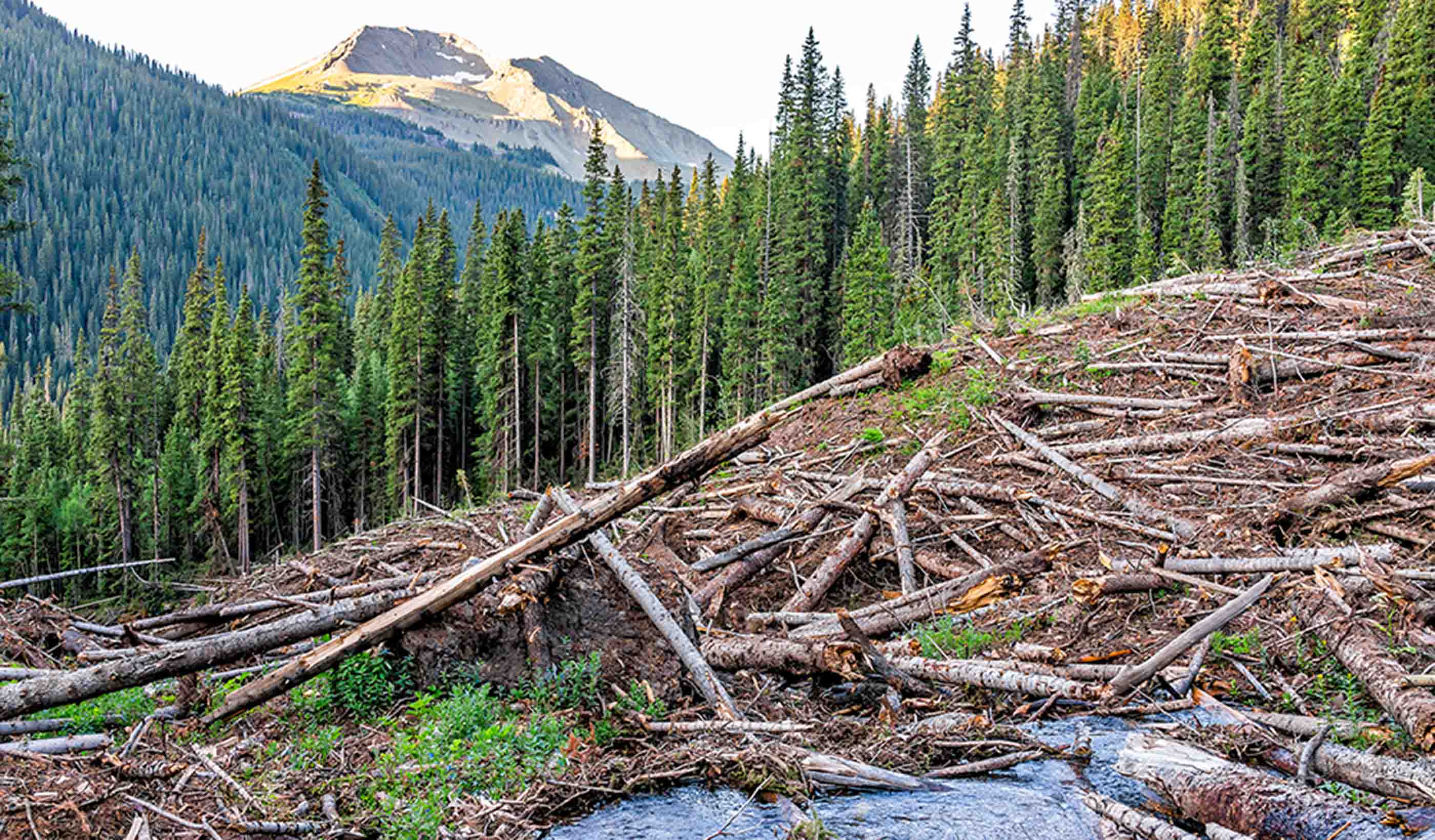
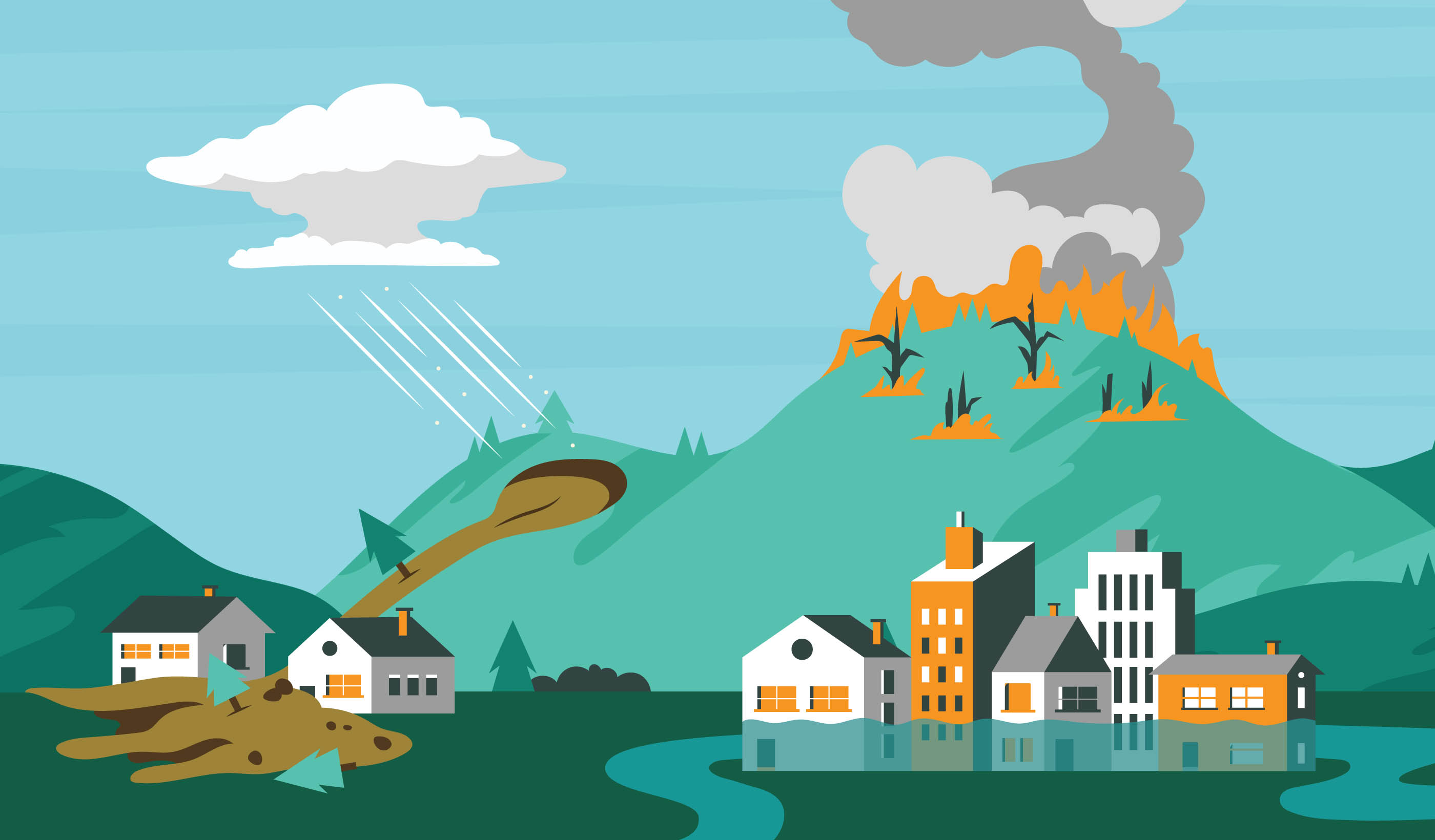
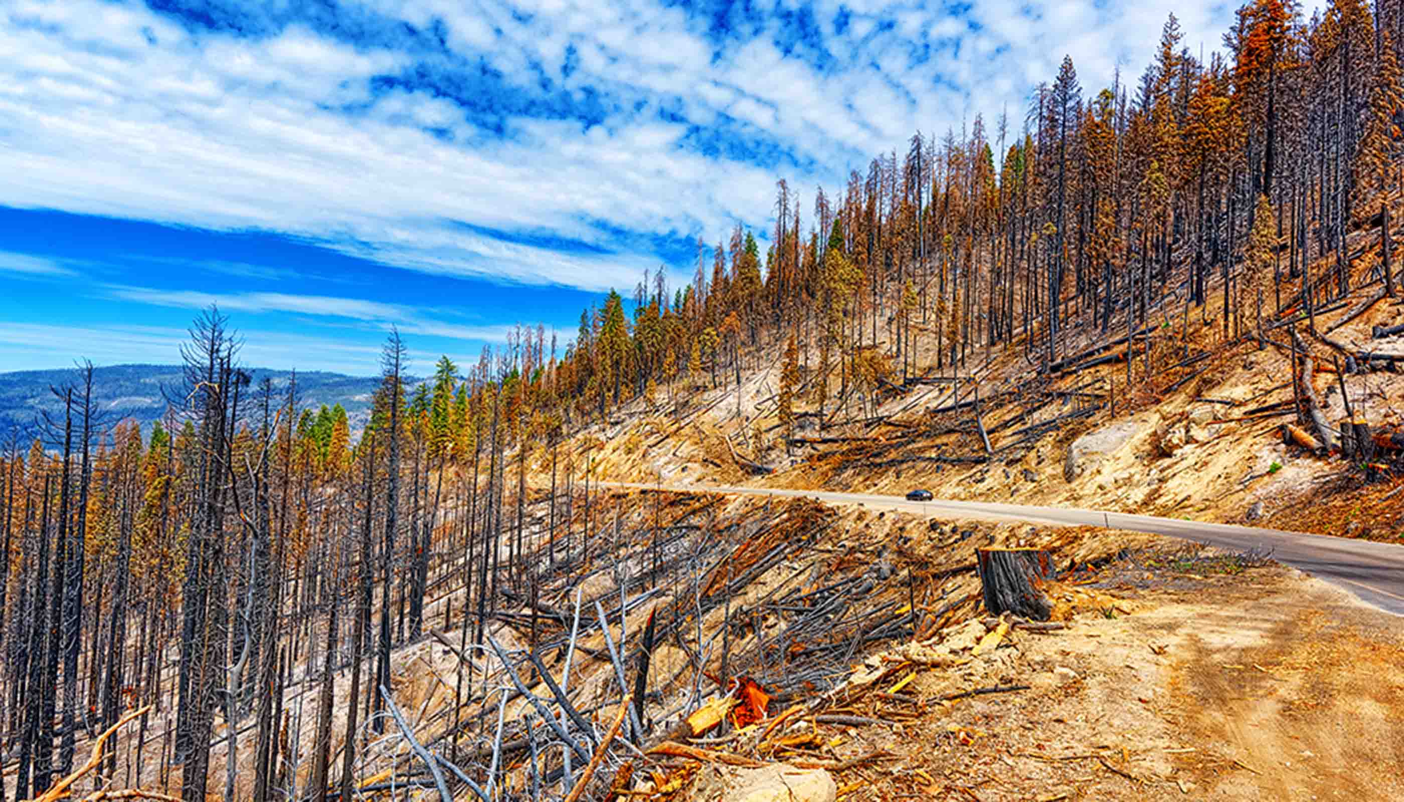
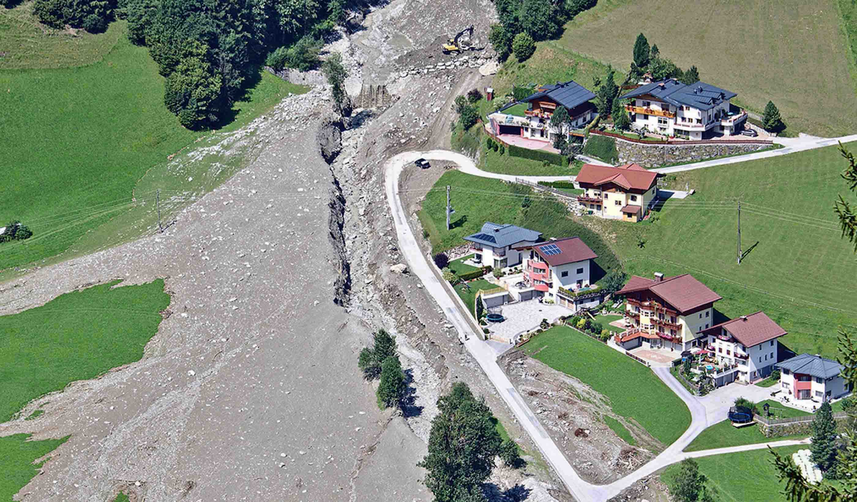
Hazardous terrain, intense storms, wildfires, landslides, floods—the Earth’s surface changes constantly, sometimes with disastrous consequences. Backed by 30 years of geotechnical experience, Rick has a strong personal commitment to reducing the impacts of geohazards on communities, infrastructure, lives, and the environment. He leads a group of specialists who provide practical, science-based solutions. The team helps clients understand, diagnose, monitor, and mitigate the potential impacts to lives and infrastructure—from roads, pipelines, and power lines to mines, facilities, and parks.
Rick’s technical training and background involve the quantification of landslide hazard and risk, landslide runout and mobility, river hazards, impacts of climate change on physical systems, and impacts to and from development. His experience spans the globe and includes investigation of some of the most complex landslide and geohazard problems around the world, and he publishes on this experience and research is in leading scientific journals.
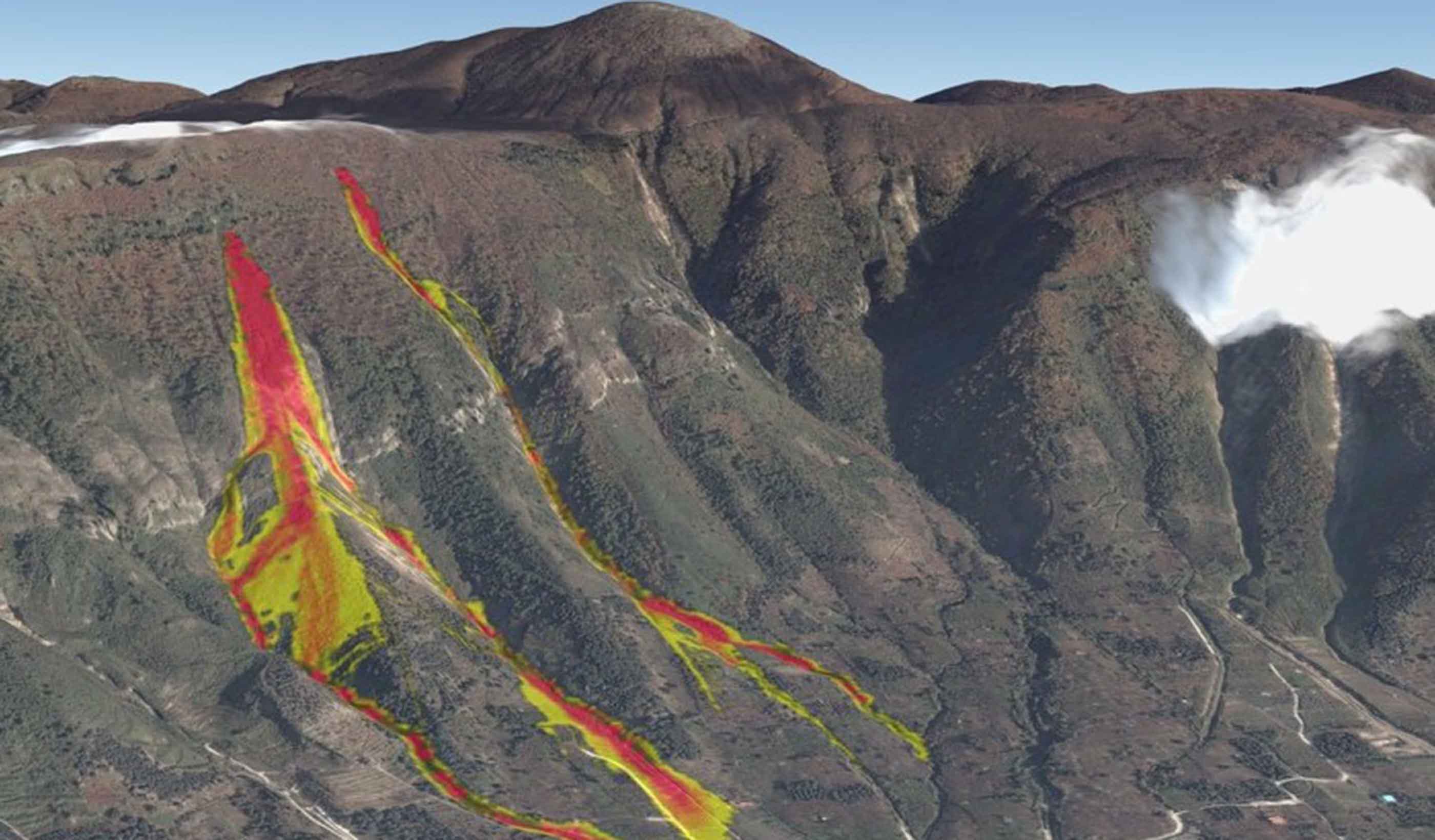
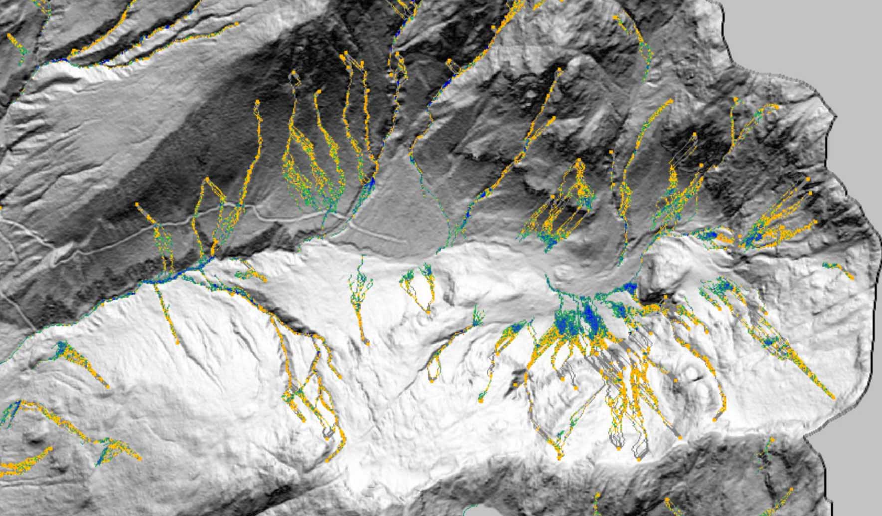
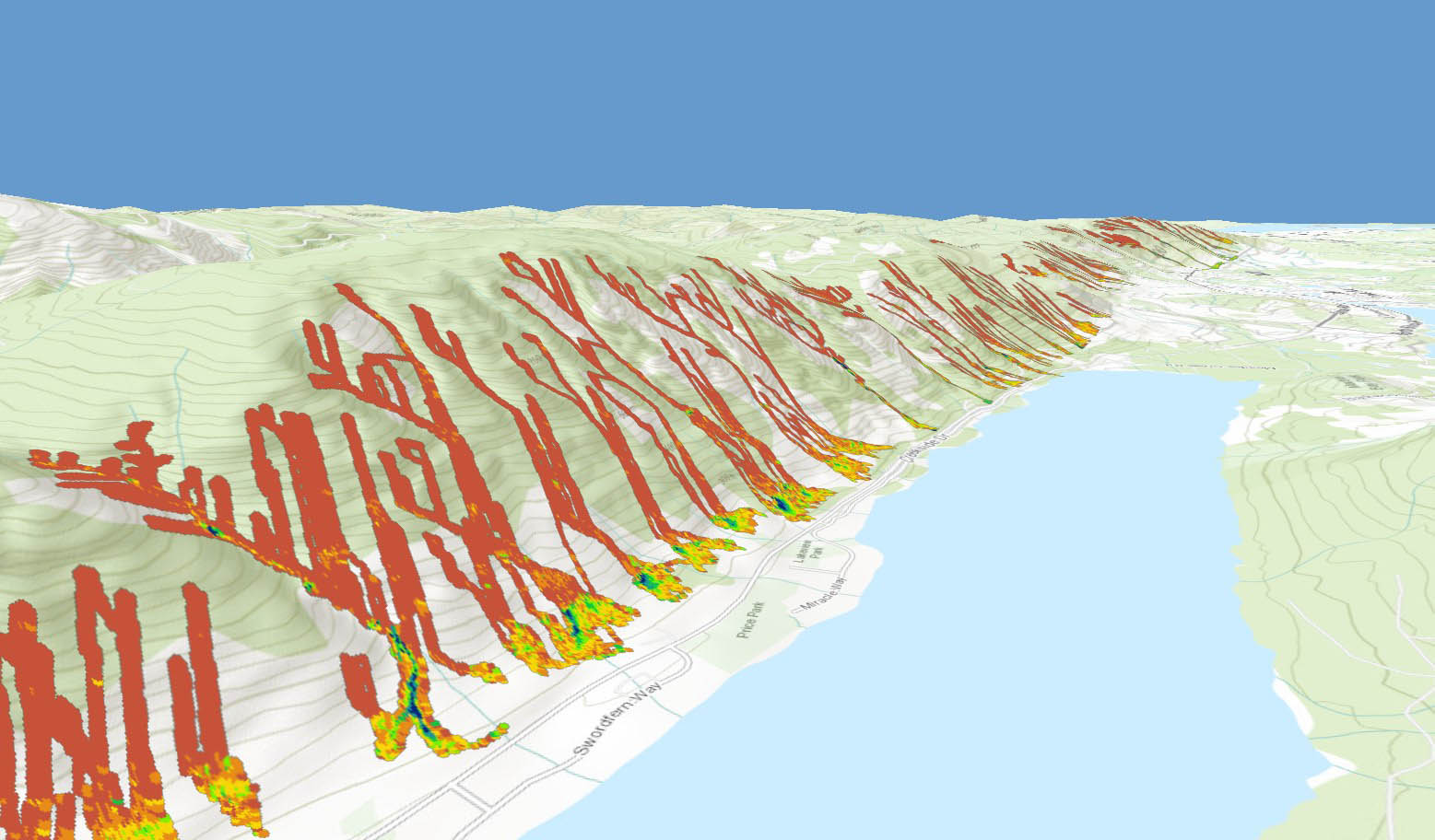
A major contributor to several key advancements in the science of geohazards, Rick is the conceptual or technical creator of DebrisFlow Predictor (a landslide runout simulation model) and Slope Manager (an application for remote monitoring of landslides). He’s also worked on a transparent probability of failure method for pipelines, a pipeline vulnerability tool, and area-based probability-intensity curves for assessing landslide-triggering rainfall.
