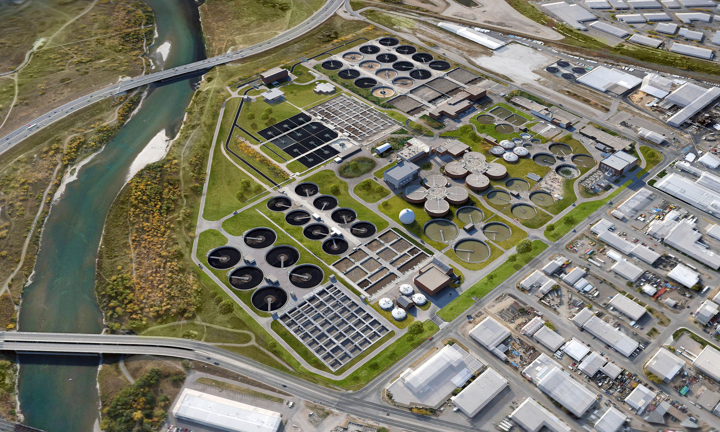
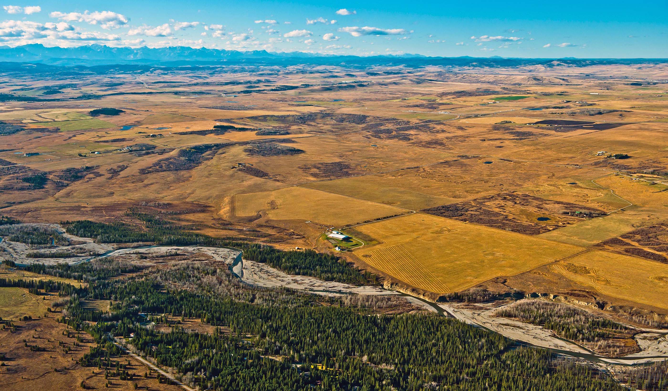
Tracey chose geomatics because it involves outdoor activities, astronomy, a high-level of math, and feeds his interest in computer-aided design. A professional technologist in engineering and project manager, he provides survey mapping data management and analysis services that define the built environment, land boundaries, and the Earth’s physical features. Tracey uses state-of-the-art tools to deliver solutions for various sectors including commercial, transportation, industrial, utility and power, environmental, and oil and gas.
Tracey has an open communication style that allows him to keep his clients informed and satisfied at every stage of the project. Going beyond the project, he develops personal connections with his clients. His favorite part of his job is collaborating with people and groups and solving problems.
Aside from geomatics, Tracey likes to travel, camp, play golf and hockey, and try new cuisines. He also volunteers for the Alberta Animal Rescue Crew Society.


