At a Glance
-
500K+
Views
-
1.7M
Potential Users
-
10K+
Homes Impacted
- Location
- Tāmaki Makaurau Auckland, New Zealand
- Offices
-
-
Client
-
-
Auckland Council
-
- Location
- Tāmaki Makaurau Auckland, New Zealand
- Offices
- Client
-
- Auckland Council
Share
Tāmaki Makaurau Auckland Flood Viewer
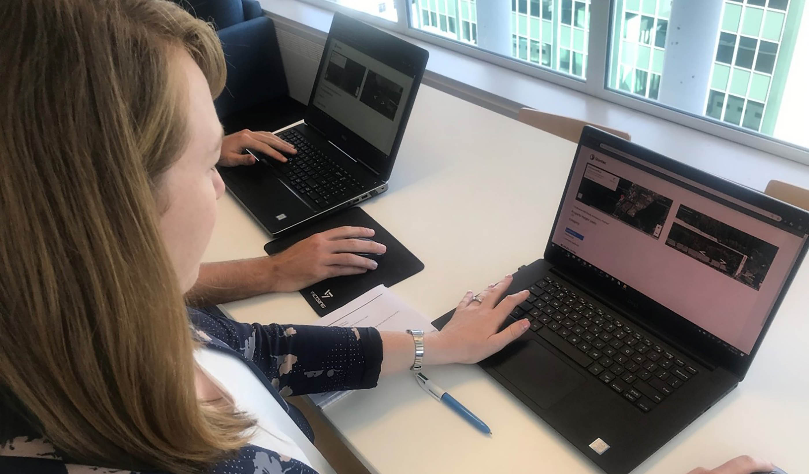
In early 2023, Auckland experienced severe flooding that impacted over 10,000 homes and insurance claims were in the billions of dollars. To address the lack of public awareness about flood risks, Auckland Council, in collaboration with our team, developed Flood Viewer using ArcGIS Experience Builder. This free online tool simplifies complex flood risk data, transforming it into an accessible format that sits alongside practical advice on flood preparedness.
Flood Viewer features interactive maps showing relevant flood layers, flood plains, overland flow paths, and coastal inundation areas. All users can search by address to identify flood hazards and access resources to learn about flooding types and get prepared. Fully bilingual in English and Te Reo, the app aligns with Auckland Council’s commitment to te Tiriti o Waitangi.
Since its launch in August 2023, Flood Viewer has received over 500,000 views and positive feedback, highlighting its effectiveness in enhancing community resilience. Auckland Council’s efforts exemplify how digital tools can improve public safety and preparedness for natural hazards.
The Auckland Flood Viewer can be accessed via the Auckland Council’s website.
At a Glance
-
500K+
Views
-
1.7M
Potential Users
-
10K+
Homes Impacted
- Location
- Tāmaki Makaurau Auckland, New Zealand
- Offices
-
-
Client
-
-
Auckland Council
-
- Location
- Tāmaki Makaurau Auckland, New Zealand
- Offices
- Client
-
- Auckland Council
Share
Louisa Bloomer, Digital Practice Leader, Asia Pacific
Enabling digital technology across all our services creates efficiencies that have the power to change how we deliver solutions.
We’re better together
-
Become a client
Partner with us today to change how tomorrow looks. You’re exactly what’s needed to help us make it happen in your community.
-
Design your career
Work with passionate people who are experts in their field. Our teams love what they do and are driven by how their work makes an impact on the communities they serve.


