At a Glance
-
20K
Households
-
80
Square Kilometres
-
725
Kilometres of Road
- Location
- Rotorua, New Zealand
- Offices
-
-
Client
-
-
Rotorua Lakes Council
-
- Location
- Rotorua, New Zealand
- Offices
- Client
-
- Rotorua Lakes Council
Share
Rotorua Strategic Traffic Model
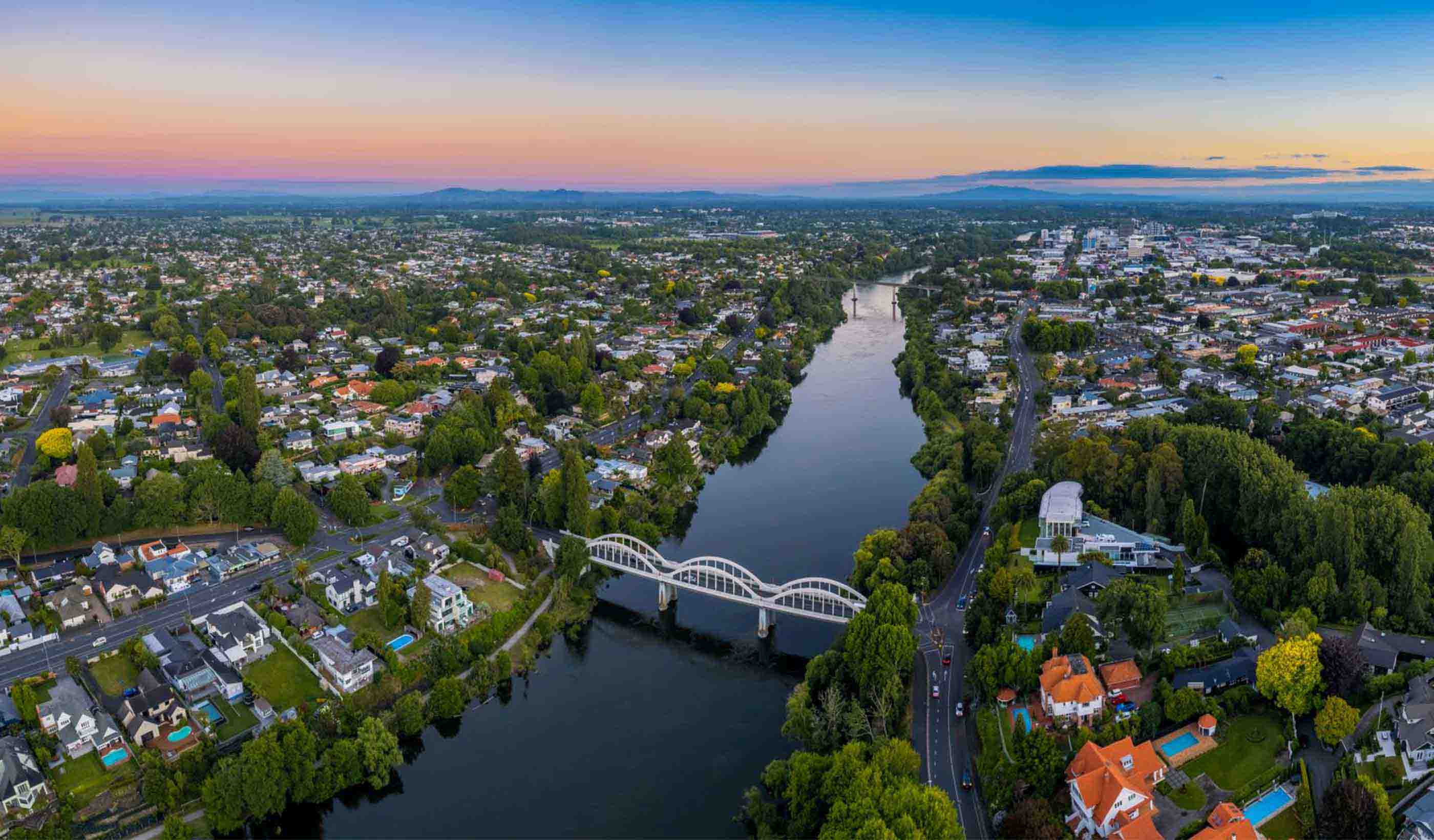
Since the early 1990s, we’ve been providing the Rotorua Lakes Council with strategic transport modelling advice. The Council has used this essential transport data for long-term planning and infrastructure investment decisions, benefiting both the Council and developers. The modelling has also helped inform decision-making for future growth and development by understanding potential future road network stresses due to population and employment growth.
Most recently, the Council tasked us to revise the existing strategic model of the Rotorua District to fully incorporate the latest planning data. This included updating household distribution and composition, job distribution by location and type, and the road network to reflect recent infrastructure changes. We also integrated new traffic counts along major corridors to validate traffic flows against the NZ Transport Agency’s recommendations. Additionally, we created future projections for 2034 and 2048 with input from Council planning staff to support their latest Long-Term Plan.
To provide a more complete picture for the Council, we introduced a separate parking module into the modelling process. This module redistributes car trips based on parking availability and type, mimicking CBD parking behaviour, aiding the Council in making informed decisions on parking charges and availability.
At a Glance
-
20K
Households
-
80
Square Kilometres
-
725
Kilometres of Road
- Location
- Rotorua, New Zealand
- Offices
-
-
Client
-
-
Rotorua Lakes Council
-
- Location
- Rotorua, New Zealand
- Offices
- Client
-
- Rotorua Lakes Council
Share
Julie Ballantyne, Transport Leader
I like a technical challenge and working to tackle that challenge with a team.
Dave Hunter, Senior Principal Transportation Engineer
I view my work in transport as more of an art than a science, ultimately providing clients with innovative and tailored solutions.
We’re better together
-
Become a client
Partner with us today to change how tomorrow looks. You’re exactly what’s needed to help us make it happen in your community.
-
Design your career
Work with passionate people who are experts in their field. Our teams love what they do and are driven by how their work makes an impact on the communities they serve.


