- Location
- Loch Awe, Scotland, United Kingdom
- Offices
-
-
Client
-
-
DRAX
-
- Location
- Loch Awe, Scotland, United Kingdom
- Offices
- Client
-
- DRAX
Share
Cruachan 2 Power Station Expansion Geohazard Assessment
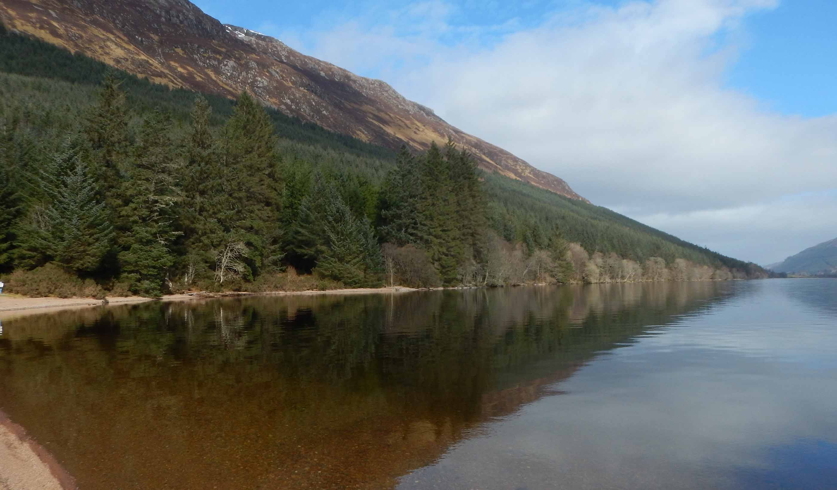
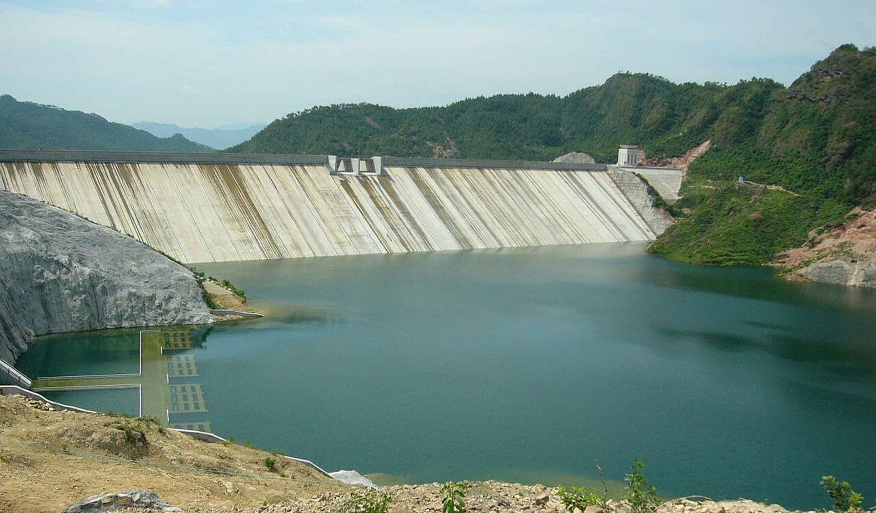
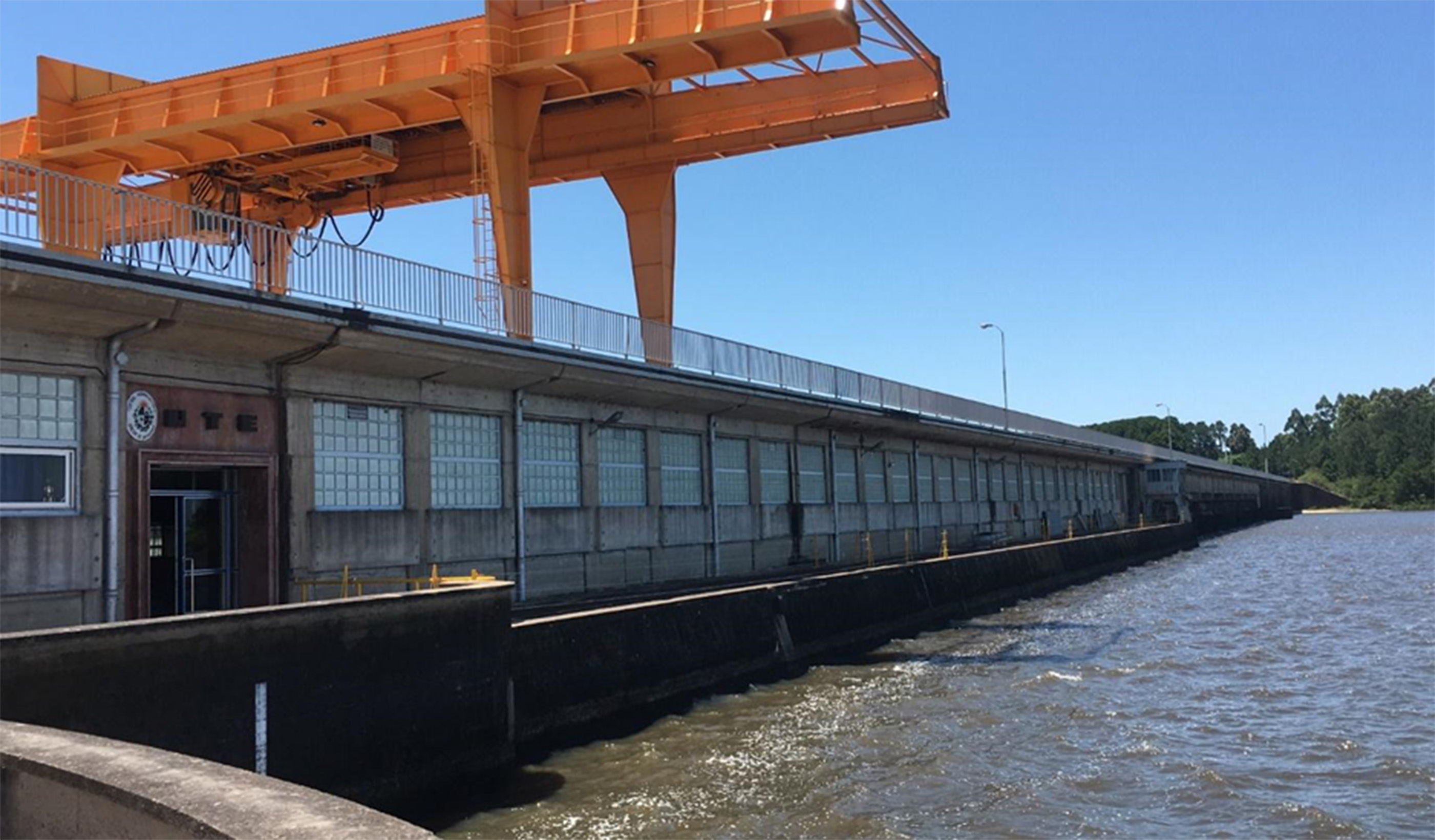
How land responds to wet weather is something utility operators must keep in mind when updating their infrastructure. Our client had to consider steep, rugged slopes when planning to expand their hydro-electric facility on the side of Ben Cruachan, north of Loch Awe. The slopes had been subject to several recorded debris flows resulting in damage and shutdowns to the A85 and West Highland Railway Line, which run along the toe of the slope adjacent to Loch Awe.
Our geohazard specialists deployed our proprietary, agent-based landslide model, DebrisFlow Predictor, to model the behavior of landslides and delineate potential hazard zones within the site. It can reasonably predict landslide pathways, runout probability, and depth of scour and deposition along the simulated landslide path. We simulated over 170,000 landslides across the site, characterizing runout extent, scour, and deposition along the potential landslide paths. The modeling results helped to identify areas where existing and proposed infrastructure, including a vital access road, could be prone to debris flow interaction.
In the future, our client can use these recommendations to assist in implementing appropriate avoidance or mitigation measures to reduce risks to infrastructure, construction, and people.
- Location
- Loch Awe, Scotland, United Kingdom
- Offices
-
-
Client
-
-
DRAX
-
- Location
- Loch Awe, Scotland, United Kingdom
- Offices
- Client
-
- DRAX
Share
We’re better together
-
Become a client
Partner with us today to change how tomorrow looks. You’re exactly what’s needed to help us make it happen in your community.
-
Design your career
Work with passionate people who are experts in their field. Our teams love what they do and are driven by how their work makes an impact on the communities they serve.

