- Location
- Canada
- Offices
-
- Location
- Canada
- Offices
Share
Vegetation and Carbon Sequestration Monitoring through Remote Sensing
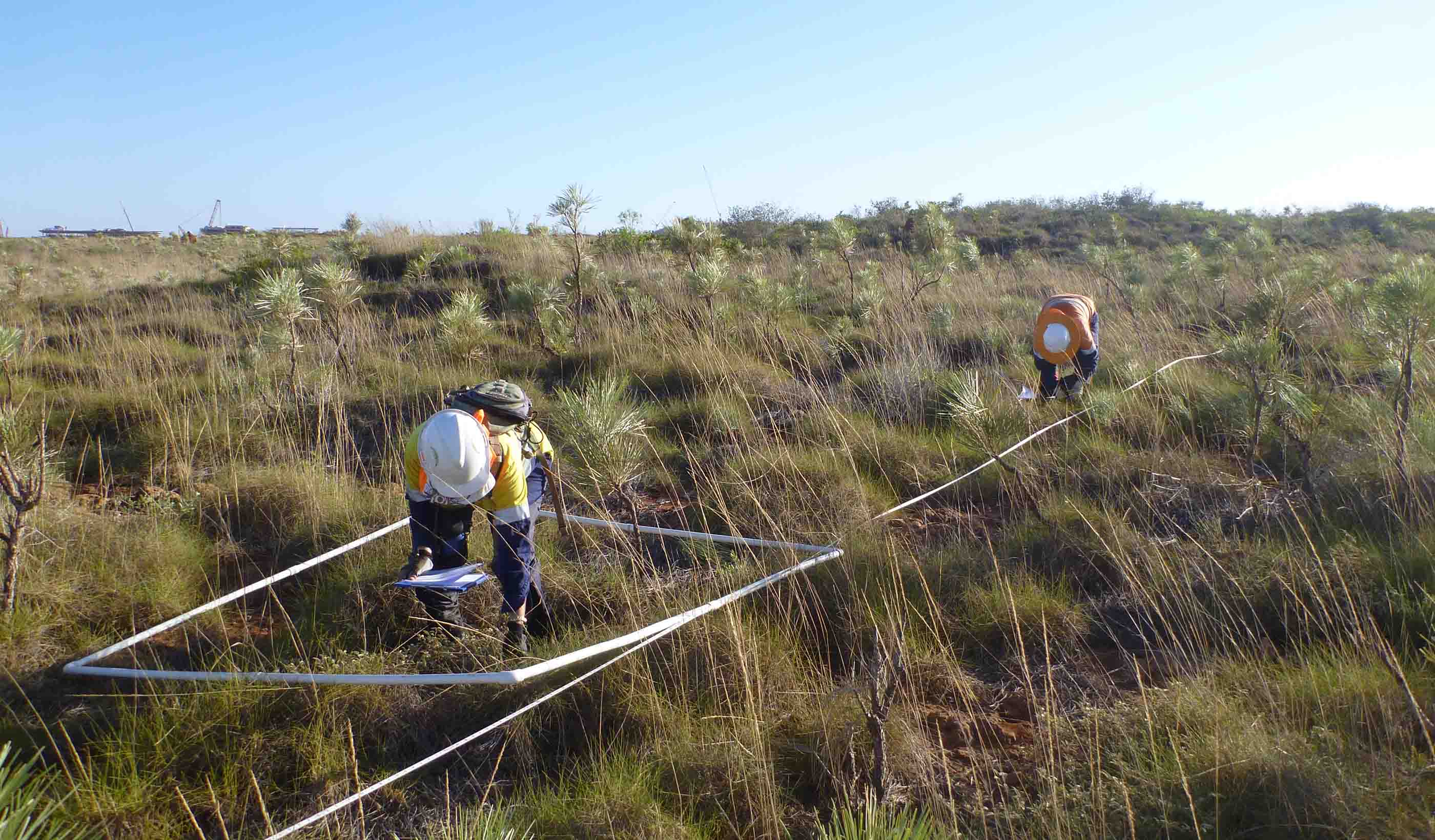
Our client needed a cost effective, accurate, and reliable solution to help them monitor vegetation recovery over decades—a solution that would lower the amount of travel required to remote properties. They were previously only able to examine a small subset of plots on the property, and that—alongside the variability of results from human interpretation—limited their understanding of the overall vegetation productivity.
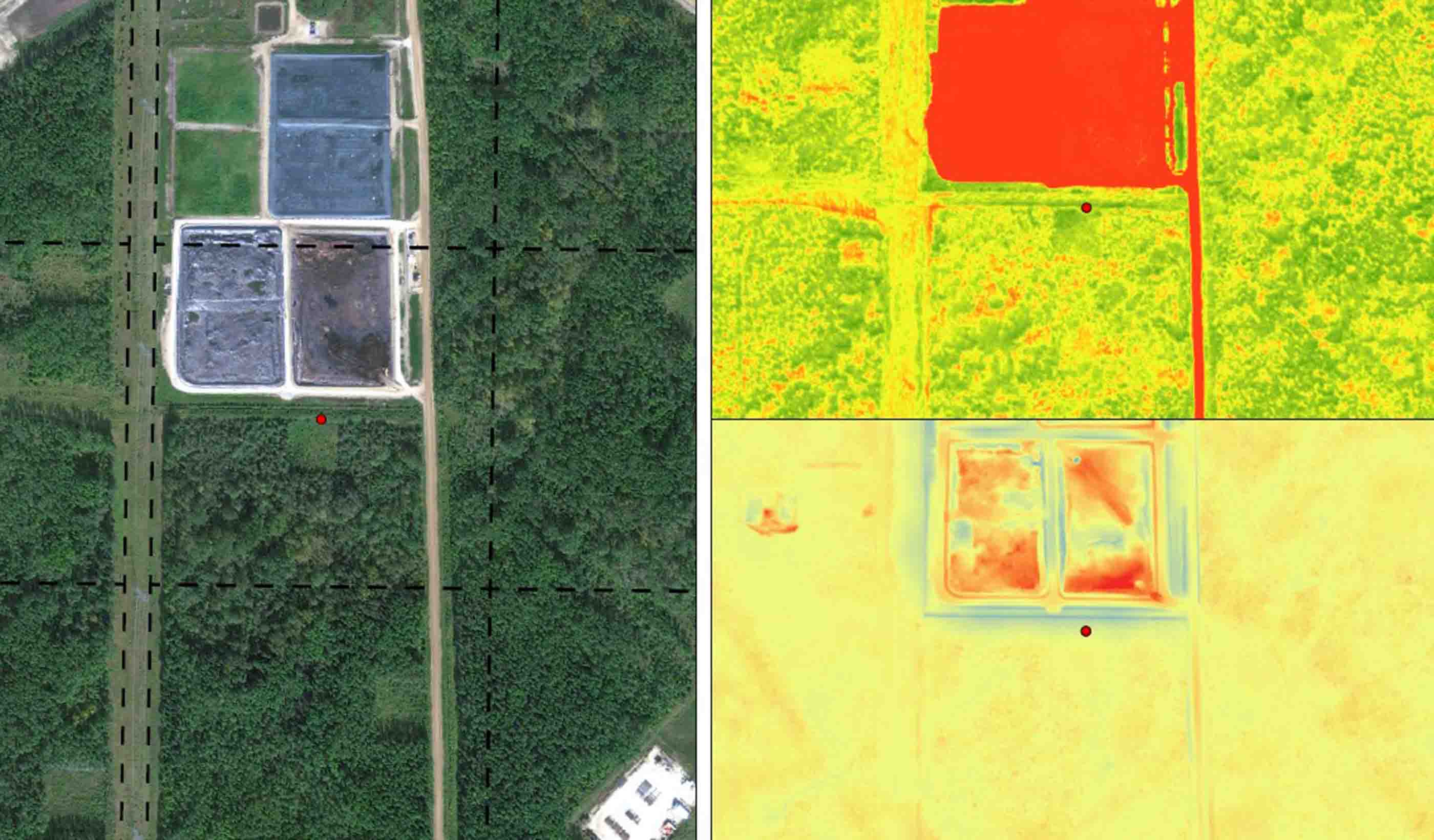
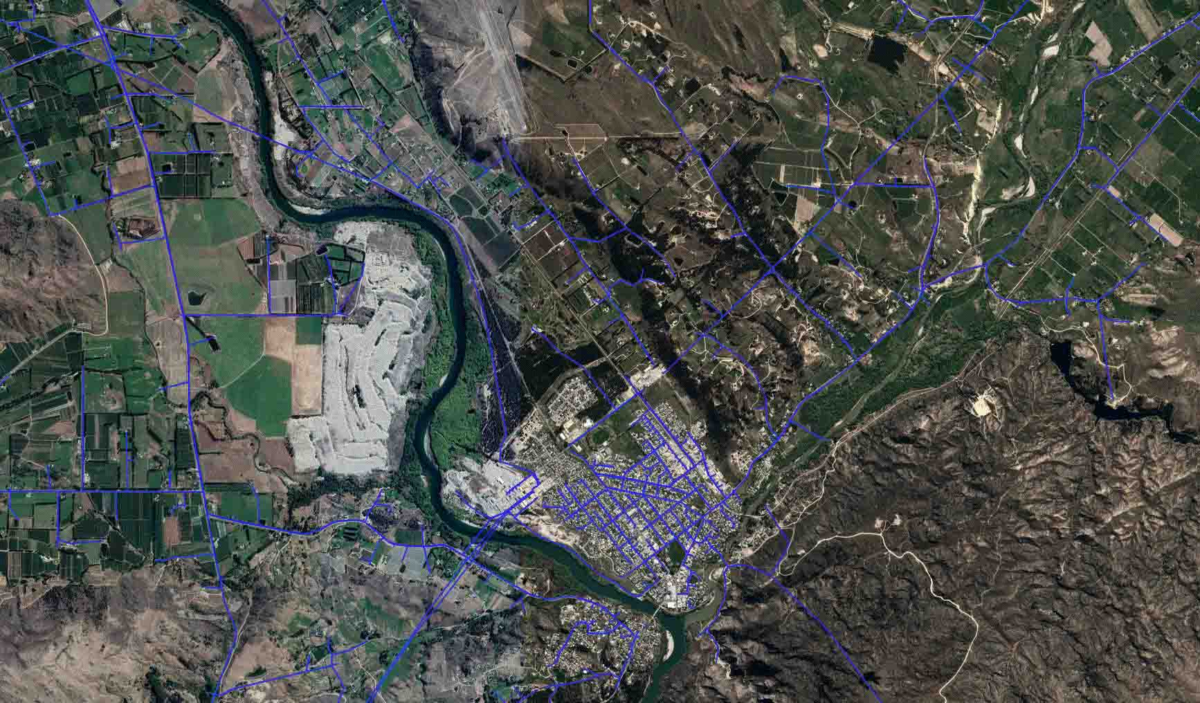
We used ExtractX™, our remote sensing toolkit that combines high-resolution images with object-based image analysis, to establish baseline vegetation biomass and health conditions as well as ascertain the impacts of water erosion within the reclaimed forest. Our team collected pertinent geospatial imagery and elevation data values by plane and light detection and ranging (LiDAR) collection methods. Normalized difference vegetation index scores were calculated for all vegetation communities and trees where detectable. The precise hydrological digital terrain model method identified thousands of erosional water features; this allowed our client to focus on the high potential areas for water erosion.
Using subsequent data captures, we can easily compare vegetation statistics for progress or regression. The result? A quick, safe, and cost-effective method for our clients to locate reclamation areas of concern without physically travelling there.
- Location
- Canada
- Offices
-
- Location
- Canada
- Offices
Share
George Kroupa, Principal
Being a part of the energy transition movement must be central to the strategic planning of aspiring environmental industry leaders.
Brendan Player, Associate, Nature-based Carbon Solutions Team Lead
My focus is utilizing environmental restoration and innovative sensor technology to help clients achieve their goals and objectives.
We’re better together
-
Become a client
Partner with us today to change how tomorrow looks. You’re exactly what’s needed to help us make it happen in your community.
-
Design your career
Work with passionate people who are experts in their field. Our teams love what they do and are driven by how their work makes an impact on the communities they serve.


