Across ever-changing landscapes, technology keeps our pipelines safe from geohazards
March 16, 2023
March 16, 2023
Pipelines remain the most efficient means of moving oil and gas. Here’s how we protect them from floods, landslides, and other geohazards.
Behold the pipeline, that unseen transportation system that has been delivering oil, gas, and other energy to our homes and businesses for over 150 years.
In 1865, Samuel Van Syckel built the world’s first oil pipeline in Pennsylvania. Van Sickel’s invention was 5 miles long, 2 inches wide, and capable of delivering about 2,000 barrels of oil daily to a nearby rail depot. The world’s first pipeline also had its own hazards.
Van Syckel’s engineer, William Snow, decided to bury the iron pipeline up to two feet deep to protect it from getting damaged and springing leaks. Back then, potential hazards included angry, hammer-wielding wagon teamsters who, at the time, had a monopoly on oil transportation and saw the pipeline as a challenge to their monopoly.
Fast forward to the 21st century.

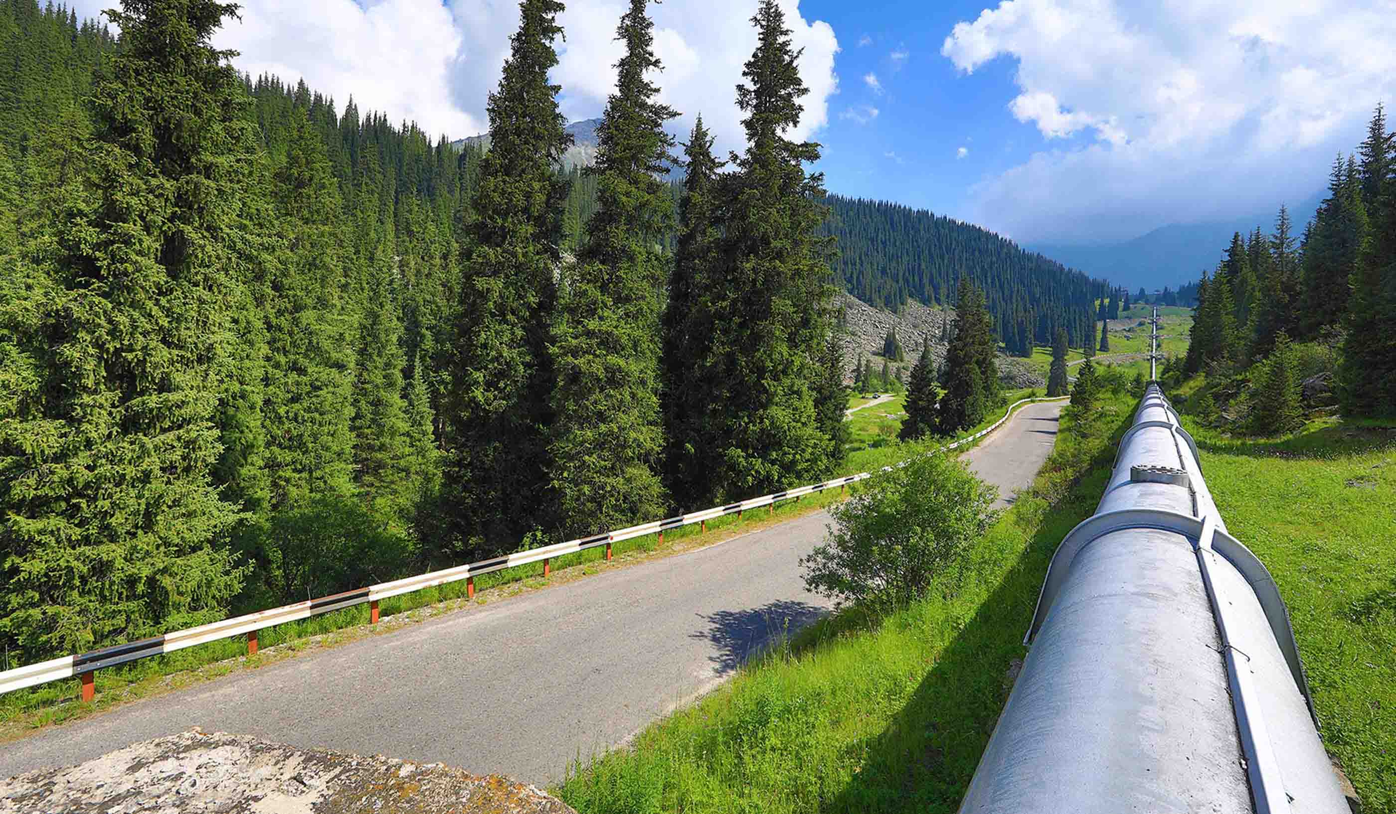
Pipelines remain a key piece of infrastructure delivering energy to our cities, communities, and homes, but they face landscape hazards.
Today, groups of engineers, geomorphologists, and other geohazard experts are designing ways to keep oil and gas pipelines safe. And there are a lot of pipelines to protect—840,000 kilometres in Canada and 2.6 million miles in the United States.
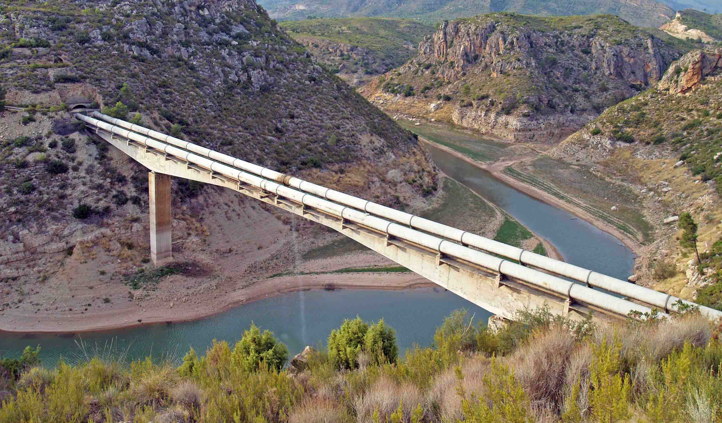
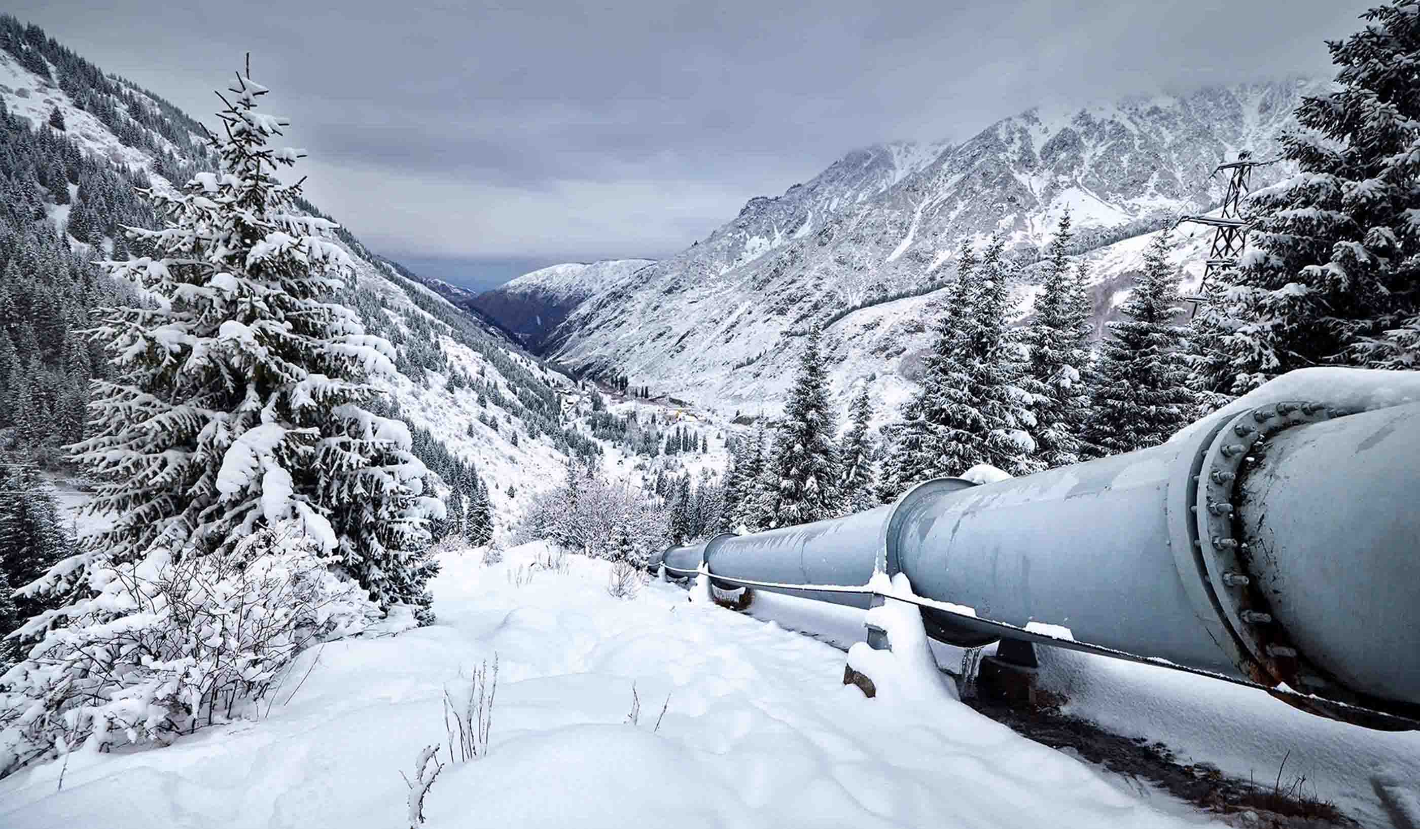
Pipelines remain one of the safest and least expensive means of transporting gas and oil. Yet one of the challenges facing oil and gas companies is that pipelines cross vast landscapes that experience erosion, seismic activity, changes in permafrost conditions, and landslides. Moreover, pipelines must cross rivers and other water bodies that can experience flooding.
Working closely with our geotechnical engineers, Stantec’s geohazards team has decades of experience working to keep pipelines safe. We are ready to help protect pipelines from landslides, ground movement, floods, and other hazards. As longtime partners with the oil and gas industry, we identify hazards and mitigate and monitor the ongoing threats.
Over the years, the close relationship between our geohazards team and our geotechnical engineers has laid the groundwork to expand our full program. Our expertise now includes pipeline integrity, geomatics, and hydrotechnical engineering.
Our efforts have led to the creation of new tools and techniques to not only identify the risks but to also provide measures to reduce the impacts of geohazards.

LiDAR is extremely accurate in detecting changes in landscapes and protecting pipelines from geohazards.
Imagine Canada’s Interior Plains and you might think of it is a static, flat landscape that poses few hazards. In fact, if you have 1,000 kilometres of pipeline crossing those plains, you will likely underestimate the number of rivers that flood during storms. And you probably won’t think of all the number of slopes, landslides, and ground movements that pose risks to pipelines.
To identify and mitigate these risks, our team developed a Probability of Failure (POF) tool. This award-winning method determines the annual likelihood of pipeline failure due to different geohazards. The tool determines the probability of a hazard inducing a strain on a pipe and the ability of the pipeline to absorb that strain. Our method is both transparent and can be queried.
We also developed a Pipeline Vulnerability Tool (PVT). It is now part of Stantec’s POF tool. The PVT is a physics-based screening tool that estimates pipe capacity based on the properties of the pipe and of the interacting landslide.
There are a lot of pipelines to protect—840,000 kilometres in Canada and 2.6 million miles in the United States.
Two other tools at our disposal are called Slope Manager and Flow Predictor. Slope Manager provides predictions of ground movement based on real-time, high-resolution rainfall data. Slope Manager emails the user when thresholds have been exceeded.
Flow Predictor provides similar real-time, high-resolution modeling that determines hourly discharge based on weather changes in the watershed. Likewise, Flow Predictor emails the user when thresholds have been exceeded.
Sometimes our best defense is a solid offense provided by trenchless underground drilling. It is a technique that avoids geohazards by drilling underground. Is your pipeline prone to risk of failure caused by eroding gullies or landslides?
Trenchless drilling can locate or relocate a pipeline to avoid these geohazards. Stantec is the top-ranked trenchless provider in North America.

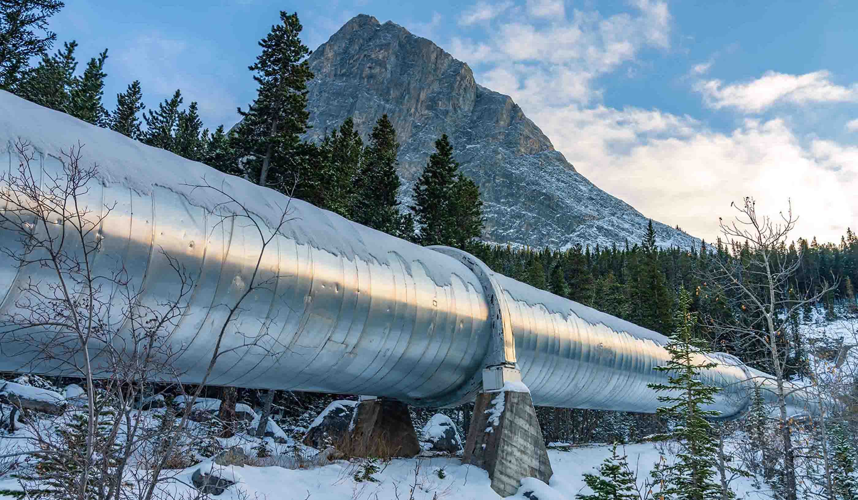
Pipelines remain one of the safest and least expensive means of transporting gas and oil.
Aerial surveys have long provided a way of monitoring pipelines. But they can be costly and might miss critical data between flights. As part of our Remote Sensing program, we developed PipeWATCH™, a technique for pipeline leak detection using satellite imagery. PipeWATCH™ is about half the cost of traditional air surveillance.
Ever heard of LiDAR? This remote sensing method, which stands for Light Detection and Ranging, uses light from a pulsed laser beam to measure distances. LiDAR is extremely accurate in detecting changes in landscapes and providing an efficient and highly accurate way to identify geohazards. LiDAR has changed our understanding of landscapes, allowing us to “see” landslides that are thousands of years old and some that are younger. It can identify warning signs for landslides that have not yet occurred.
Similarly, InSAR is a space-borne satellite system that can detect sub-centimetre scale movements at the Earth’s surface. It is used to monitor ground deformation on pipeline right of ways.
Our GroundWATCH™ systems uses both LiDAR and InSAR to derive bare-earth digital elevation models. These models can identify, delineate, and prioritize potential geohazards along a pipeline route.

At Stantec, we are constantly surveying the horizon for modern technology that can mitigate geohazards for pipelines.
The world’s first pipeline developer, Samuel Van Syckel, could never have imagined that lasers and Earth-orbiting satellites could help protect pipelines from hazards.
Our team is constantly surveying the horizon for modern technology that can mitigate geohazards. Our innovation is bolstered, too, by the hundreds of geohazards projects we have completed and the experience that comes from having many levels of expertise at our disposal.
Pipelines remain a key piece of infrastructure delivering energy to our cities, communities, and homes. Our geohazards and engineering teams are committed to protecting them from the predictable and unpredictable risks that an ever-changing Earth poses to us.