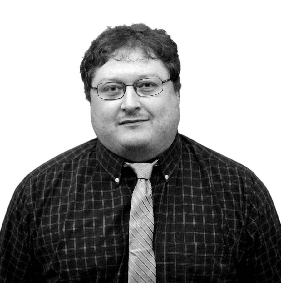
Dr. Garner focuses on geotechnical practices, project planning, and remote sensing applications for civil projects. He has five years of experience applying his expertise in geotechnical design and analysis on dams, coal combustion residual impoundments, and landfills. He’s also worked on exploration, instrumentation, construction oversight, and facility closure. A strong believer in implementing technology improvements into facility monitoring, Cyrus believes synthetic aperture radar (SAR) technologies are powerful tools for monitoring and pre-project planning.
Remote sensing collects spatially and temporally vast data, which—coupled with in-situ exploration and instrumentation—provides a more complete picture of a facility’s health. SAR can be used to identify areas of concern during the project planning phase which will allow for targeted use of field exploration and instrumentation resources to provide increased value to clients. Currently, Cyrus is performing SAR analysis and data reduction for a large dam owner in the western United States.
Cyrus lives with his family in New Hampshire, and when he isn’t at work he enjoys tromping through the woods with his three year old.
